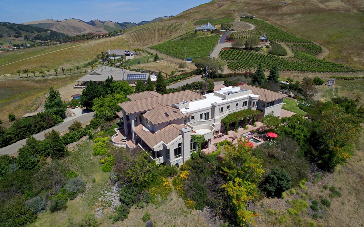
On the Central Coast, where lot size, ocean proximity, and hillside views often matter as much as square footage, a ground-level listing photo rarely tells the full story. Real estate aerial photography from 805 Aerial gives San Luis Obispo County agents and sellers a wider, more accurate picture of a property, its lot, its neighbors, its view corridor, and its proximity to the coast, vineyards, or downtown.
805 Aerial has worked with agents from Century 21, RE/MAX, Haven Properties, and Pacifica Commercial Realty across the county, producing aerial stills that get used directly in MLS listings, print flyers, and social marketing.
Why Aerial Photos Help Central Coast Listings
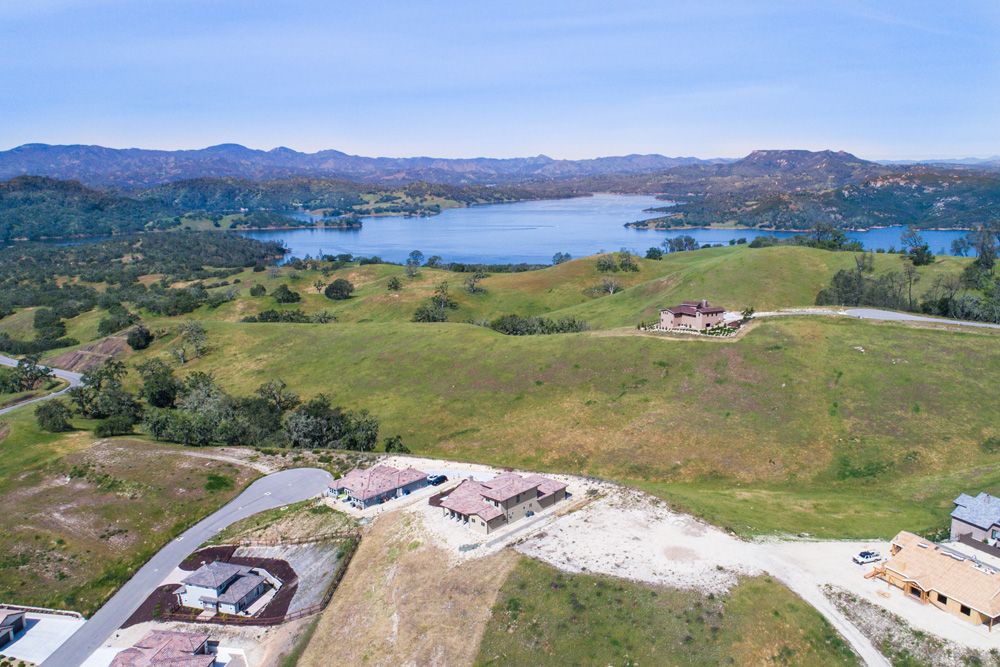
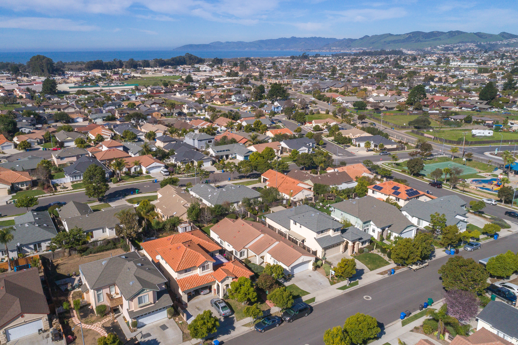
Buyers relocating to San Luis Obispo County from out of the area are often comparing a property's setting as much as its interior. An aerial photo answers questions a street-level photo cannot: how close is the property to the vineyard rows, how big is the usable flat pad on a hillside lot, how far is the walk to the beach from a Pismo Beach or Avila Beach property. For agricultural and ranch properties around Paso Robles and Creston, an aerial photo is often the only practical way to show the full parcel.
What's Included
- Multiple altitude and angle options. Straight-down parcel shots for boundary clarity, and angled establishing shots for marketing appeal.
- High-resolution stills sized correctly for MLS upload limits and for large-format print flyers.
- Twilight and golden hour options for listings where lighting materially changes how the property presents.
- Fast turnaround, typically next-business-day delivery so photos are ready before a listing goes live.
Featured Client Work
Listing Photography for a Central Coast Agricultural Property
A ranch-style property near Arroyo Grande needed photography that showed the full parcel, including outbuildings and usable pasture, not visible from the road.
805 Aerial captured a full parcel overview alongside closer angled shots of the home and outbuildings during the golden hour window.
The listing agent used the aerial set as the lead images across the MLS listing and print marketing.
Client work described from an actual 805 Aerial project. Specific figures and identifying details are generalized for privacy.
Process
- Book by phone, ideally 3 to 5 days before a listing goes live.
- 805 Aerial coordinates access with the listing agent or homeowner.
- On-site shoot, typically 30 to 60 minutes.
- Edited photos delivered within 24 to 48 hours.
Frequently Asked Questions
How many photos are included in a typical shoot?
Most listing shoots include a set of 8 to 15 edited stills covering multiple angles and, where useful, a straight-down parcel overview.
Can you shoot at twilight for a premium listing?
Yes. Twilight aerial photography is available and often used for higher-end listings where lighting changes the property's presentation significantly.
Do you provide both video and photos in the same visit?
Often, yes. Many clients combine this service with aerial drone video in the same flight to save time and cost.
What if the property is near an airport?
San Luis Obispo County Regional Airport and Paso Robles Municipal Airport both have controlled airspace nearby. We check every address against current FAA airspace maps before booking.
Related Services
Pair this with aerial drone video production for a combined video and photo listing package, or see drone photography for non-real-estate still photography needs. We regularly shoot listings in Paso Robles, Arroyo Grande, and Nipomo. For more on what's changed in this market, see our article on real estate photography trends on the Central Coast.
Reference points for local real estate context: the California Association of Realtors and the Visit SLO CAL tourism site, which is a useful gauge of what draws buyers to the area in the first place.