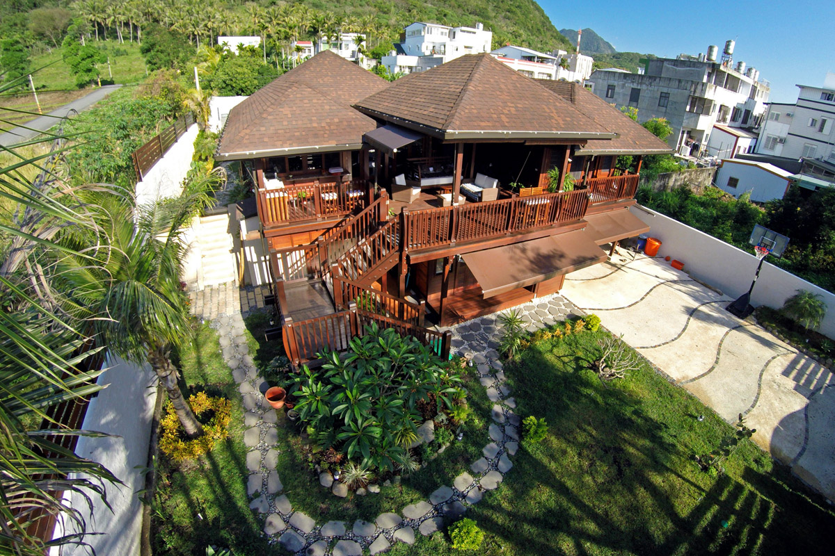
Aerial drone video has become one of the most effective ways for San Luis Obispo County businesses, real estate agents, and event planners to show off a property or a place in a way ground-level video simply cannot. 805 Aerial produces cinematic drone video across the Central Coast, from the vineyard rows of Paso Robles to the dunes above Pismo Beach, using an FAA Part 107 certified remote pilot and stabilized cinema-grade drone equipment.
Unlike a hobbyist with a consumer drone, every 805 Aerial flight is planned around airspace rules, wind conditions, and the actual story a client needs told. A real estate listing video needs a different flight path than a winery brand film, and a construction progress shoot needs a different plan than wedding coverage over a Central Coast venue. That planning happens before the drone ever leaves the case.
What Aerial Drone Video Production Includes
Every project starts with a short call to understand the goal: sell a property faster, promote a destination, document a construction site, or build out a brand's marketing library. From there, 805 Aerial handles the full production process.
- Pre-flight planning and airspace check. San Luis Obispo County includes controlled airspace near San Luis Obispo County Regional Airport and Paso Robles Municipal Airport. Every flight is checked against current FAA airspace authorizations before the drone launches.
- On-site cinematography. Smooth, stabilized aerial movement, not the jerky footage produced by a consumer drone on auto-pilot modes. Shots are composed the way a cinematographer would compose a ground shot, using leading lines, elevation changes, and the Central Coast's natural topography.
- Editing and color grading. Raw drone footage is edited into a finished video sized for its actual use, whether that's a 30-second social clip, a 90-second property tour, or a longer brand film.
- Delivery in the formats you need. MLS-ready video, vertical cuts for Instagram and TikTok, and full-resolution masters for a client's own archive.
Who Uses Aerial Drone Video on the Central Coast
Real estate agents are the most common client, since an aerial establishing shot at the top of a listing video reliably increases watch time and inquiries. But aerial video has grown well beyond real estate. Paso Robles wineries use it to show the scale and setting of a vineyard in a way a tasting room photo cannot. Hospitality groups along Pismo Beach and Avila Beach use aerial footage in destination marketing. Contractors and developers use recurring aerial flights to document construction progress from a consistent vantage point over time.
Featured Client Work
Vineyard Brand Footage, Paso Robles
A Paso Robles winery wanted aerial footage that showed the scale of its vineyard rows against the surrounding hillsides, footage that a ground camera could not capture.
805 Aerial planned a low-altitude flyover of the vineyard rows at golden hour, paired with a higher establishing shot showing the property against the wider Paso Robles wine country landscape.
The finished footage became the winery's primary brand video, used across its website and social channels for the following season.
Client work described from an actual 805 Aerial project. Specific figures and identifying details are generalized for privacy.
The Process, Start to Finish
- Discovery call. We talk through the goal, location, and timeline. This is also when we flag any airspace or access issues.
- Scheduling. Central Coast weather and marine layer can affect the best shooting window, so we build in flexibility around morning fog on the coast.
- On-site flight. Typically 1 to 2 hours on location depending on the number of setups.
- Editing. A first cut is usually delivered within 3 to 5 business days.
- Revisions. One round of revisions is included on every project.
- Final delivery. Files delivered in whatever formats the project calls for.
Frequently Asked Questions
Do I need my own permission to have a drone flown over my property?
If the flight stays within your own property boundaries and doesn't cross into restricted or controlled airspace, homeowner or business owner permission is generally all that's needed. Flights near beaches, parks, or airports may need an additional check, which we handle before scheduling.
Can you fly near the coast and beaches in San Luis Obispo County?
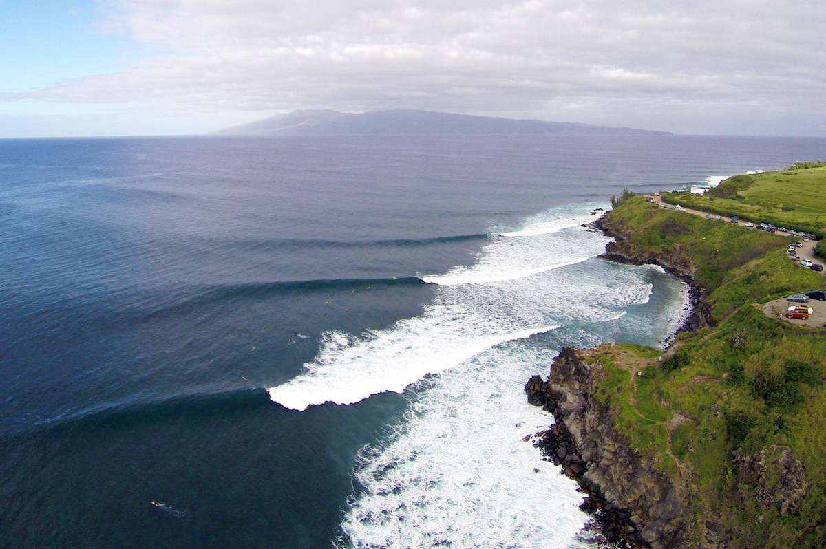
Yes, with planning. Some beach and coastal areas fall under state park or wildlife protection rules that limit drone use, particularly around sensitive habitat. We check the specific location before booking rather than assuming every beach is open airspace.
How is licensed drone video different from a hobbyist with a drone?
An FAA Part 107 remote pilot certificate means the pilot has passed a knowledge test covering airspace, weather, and regulations, and can legally operate a drone for commercial (paid) work. It also generally means better insurance coverage and more consistent adherence to no-fly zones.
What if it's foggy on the Central Coast the day of my shoot?
Marine layer fog is common along the coast in the morning. We build shoot windows around it, and can typically reschedule within the same week if conditions don't clear.
Do you provide raw footage or only edited video?
Both. Most clients receive an edited final video, but raw or lightly color-corrected footage is available on request for clients who want to edit in-house.
Related Services
Aerial drone video pairs naturally with still drone photography for clients who want both video and photo assets from the same flight, and with real estate aerial photography for listing-specific projects. For brand and marketing work beyond a single property, see our commercial video production page. We fly regularly in Paso Robles, San Luis Obispo, and Pismo Beach, and cover the rest of the county on request.
For background on the rules that govern where and how drones can legally fly in this area, our guide to filming and drone permits in San Luis Obispo County covers FAA Part 107 basics, county land, and state park restrictions in more depth. The FAA's UAS page is the authoritative federal source on drone regulations, and the County of San Luis Obispo website covers local land use questions that can affect flight locations.